UN Mappers x FAO mapping updates
As of 22 July, we have mapped 80% and validated 44% of Project 2 
 We thank the 73 mappers who have contributed their time to map with us
 Shoutout to our top contributors for the past week
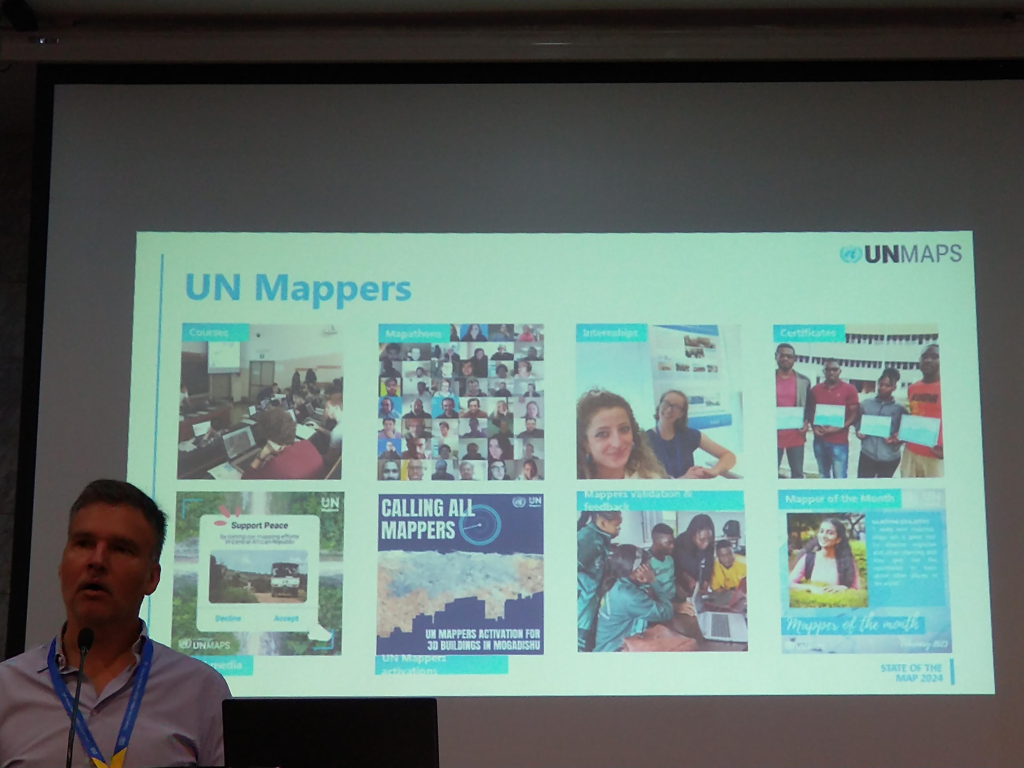
Map with us and become a UN Mapper! 
 Priority Project: #23833 https://tasks.hotosm.org/projects/23833
  https://tinyurl.com/UNMFAOprojMauritania
Stay tuned for more updates!


 1,370 km of waterways and
  520km² of farmland areas!


 New mapping projects alert!
  Deadline: 31 July
 New training alert!
  Register via: www.eventbrite.com/e/training-waterways-mapping-in-openstreetmap-tickets-1414506520079


")
 Our Mapper of the Month for June is Paolo Frizzera (OSM username: GeoFrizz) from Italy.


 , barriers
  and roads
  !
!


 )
)


 is displayed on a screen during a presentation. The left side of the screen shows a list of mapping issues, including broken highways, duplicate geometry, and bad tags, marked with different colored dots indicating their severity. The right side of the screen shows a map of Nairobi, Kenya, with roads and various markers, highlighting areas needing attention.")

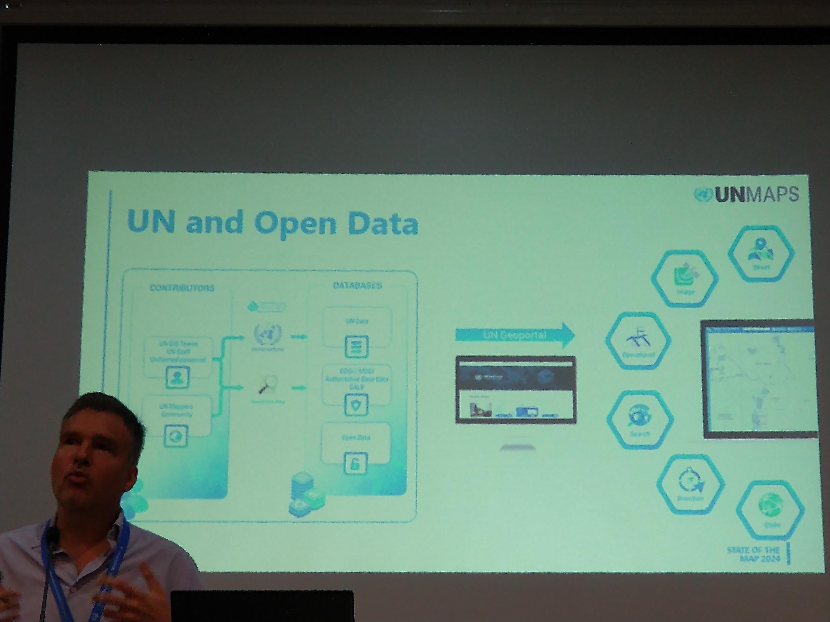
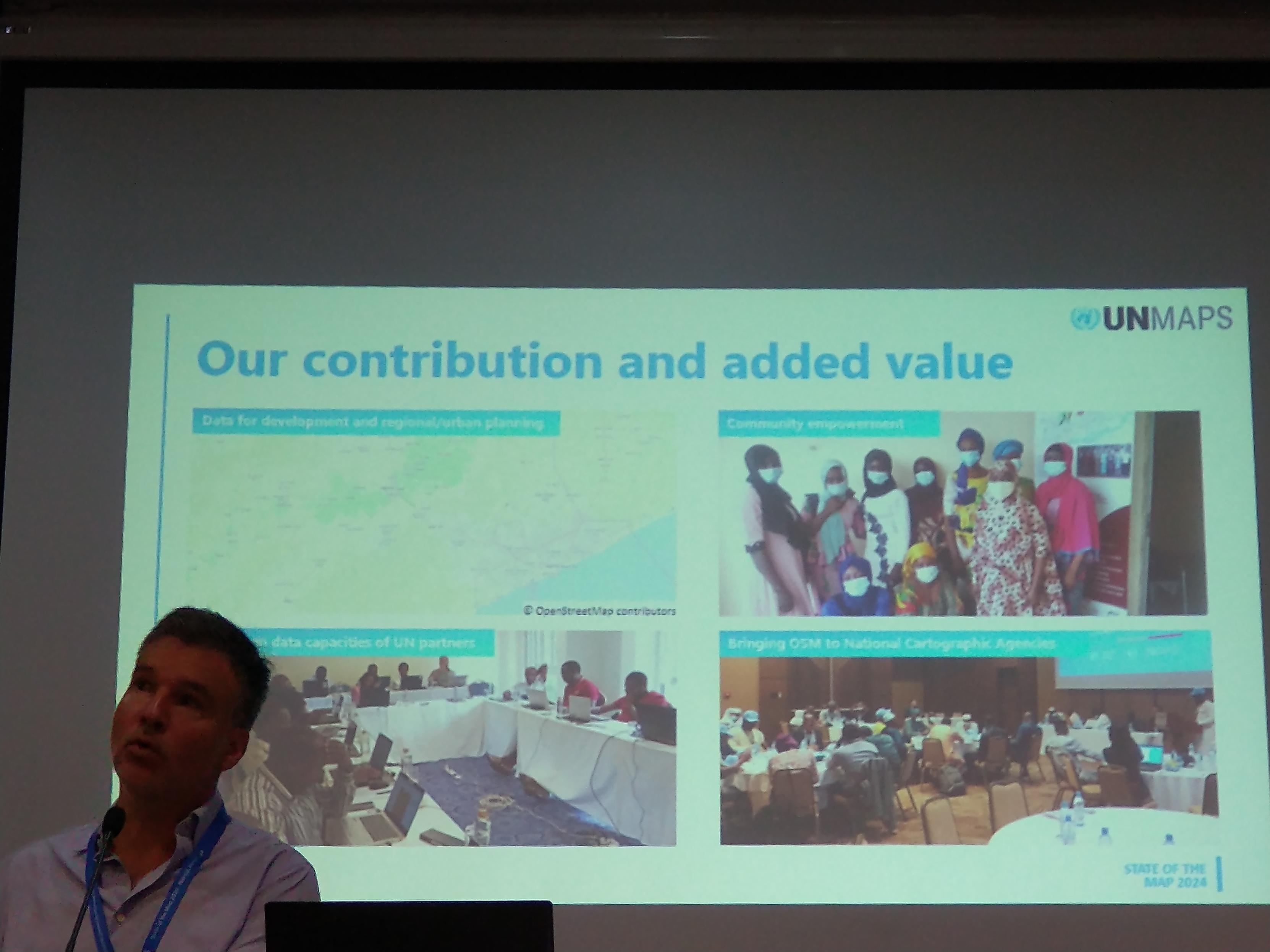

 initiative that aims to assist
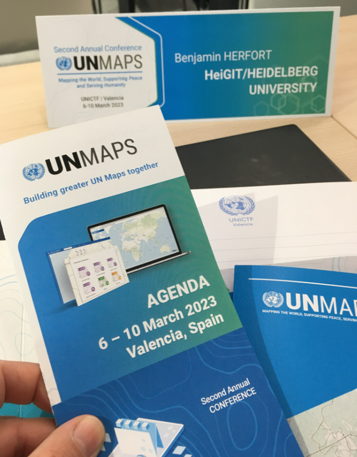
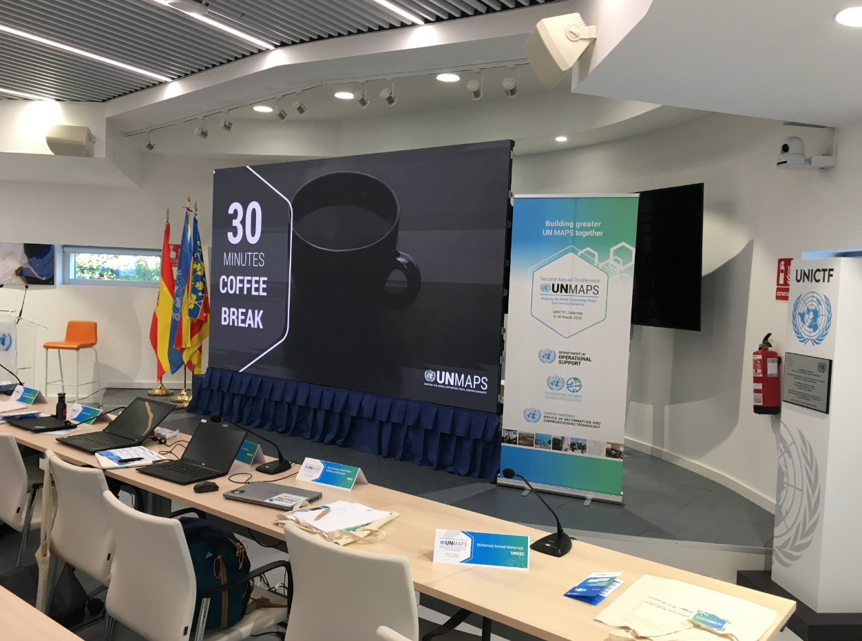
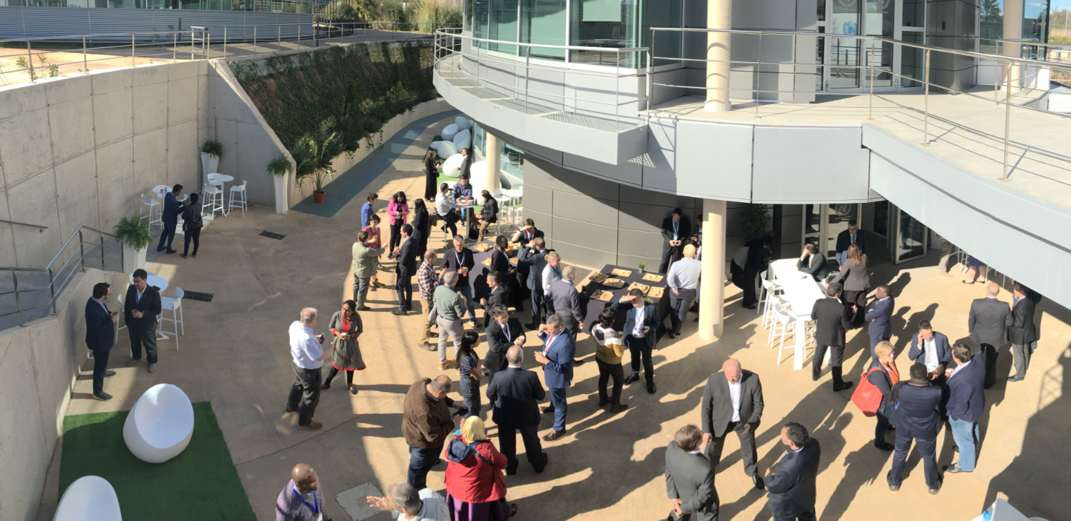
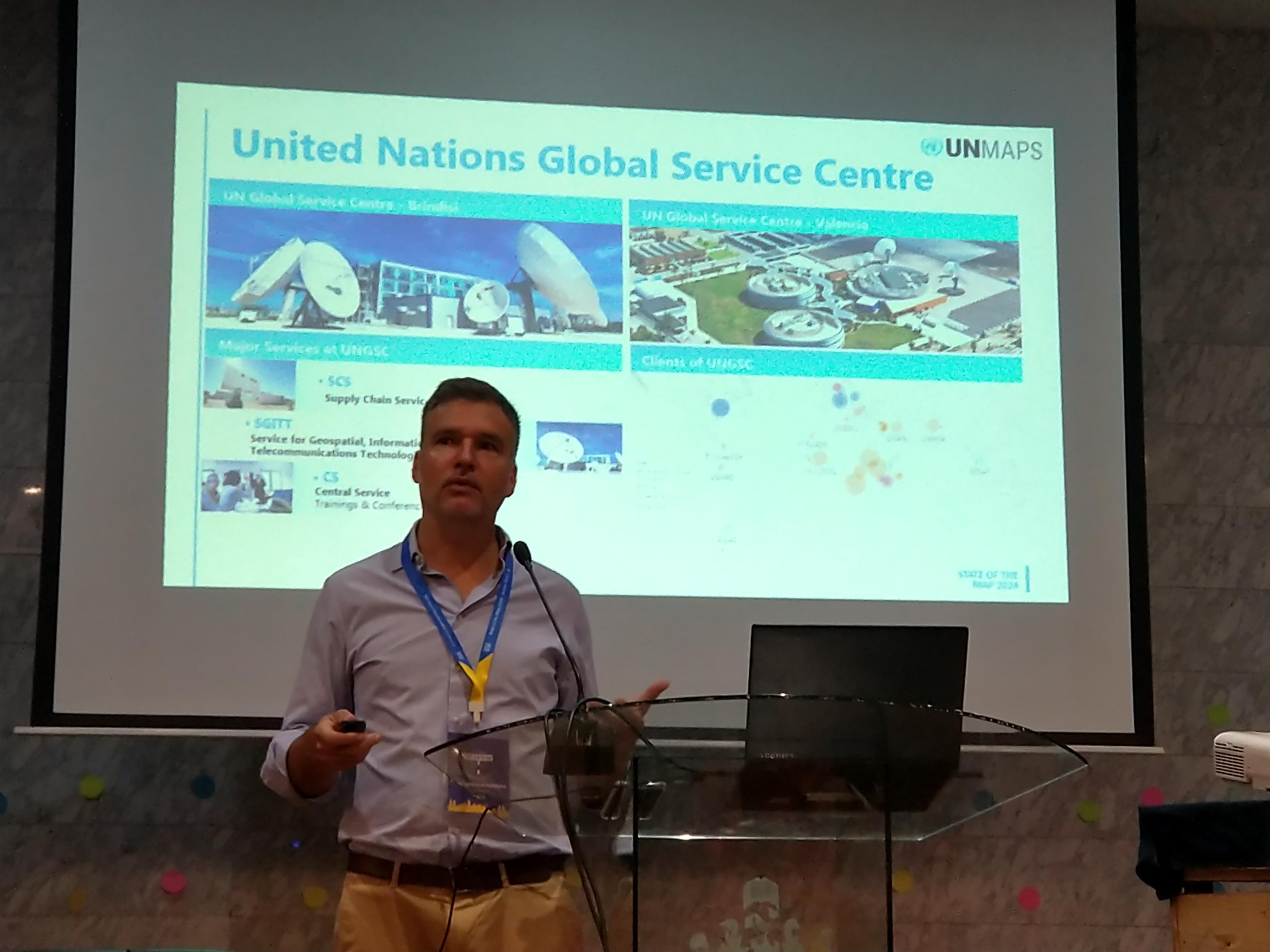
 warm Valencia, our team is enjoying the 1st coffee break at the 2nd